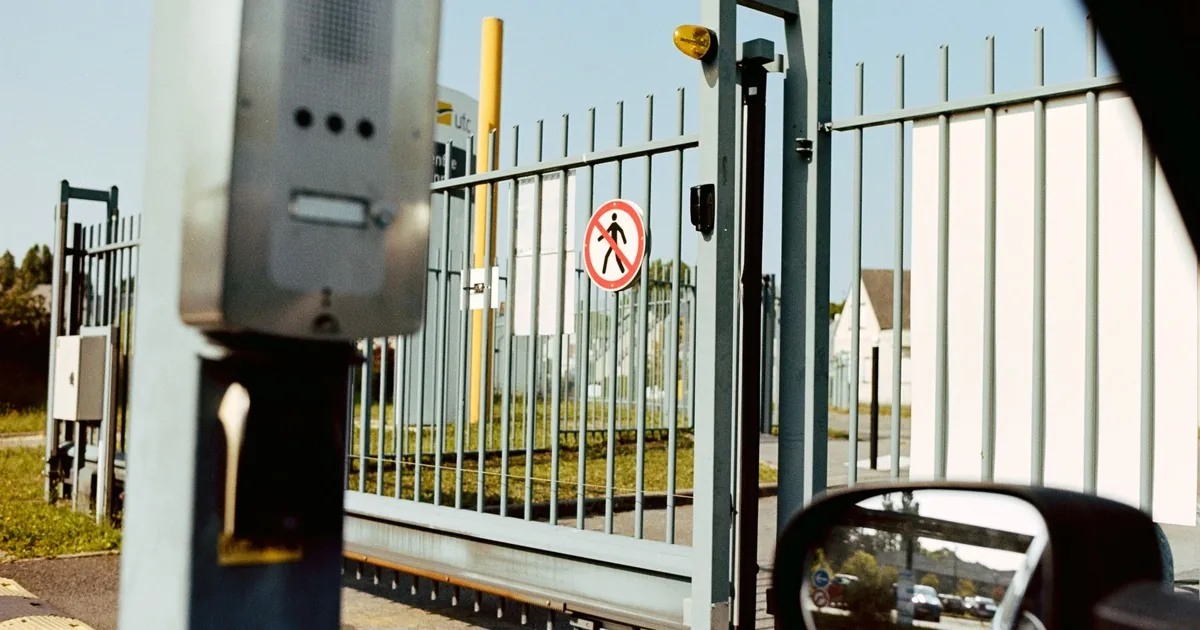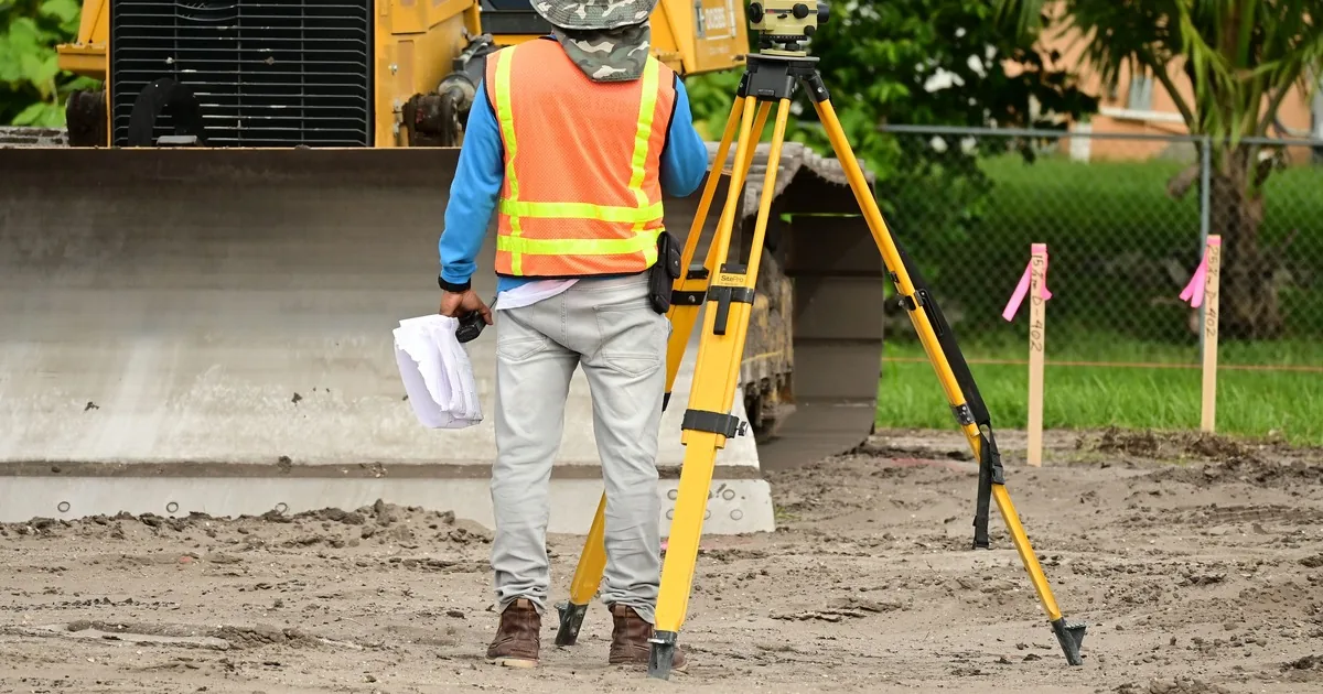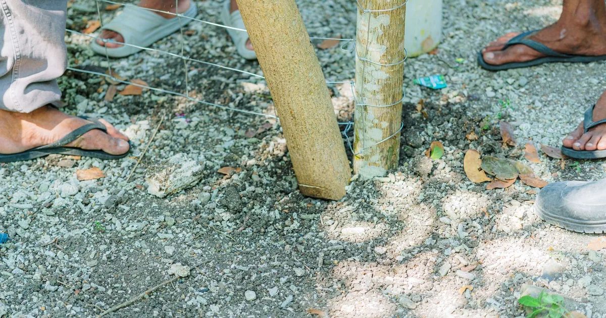
A caller says, “I have forty acres and need a fence around it. What will that cost?” Acreage sounds specific. For a fence estimator, it leaves nearly every useful question open.
Start with the fence's purpose and proposed route. Then record the animals or areas being separated, existing boundaries, corners, ends, gates, crossings, terrain, old fence, equipment access, staging, and requested timing. Do not turn acreage into a guessed perimeter or a phone quote. A field estimator still needs to confirm dimensions, design, construction conditions, and price on the property.
That makes the first call useful. The office is preparing a site visit, not trying to design an agricultural fence from a desk.
Acreage is context, not fence length
Two properties with the same acreage can require very different fence runs. One may be a compact open parcel with a clean boundary. Another may have an irregular shape, internal paddocks, a creek, wooded edges, a road frontage, and three equipment gates. The caller may want only one side fenced, or a cross-fence that divides pasture inside the boundary.
Ask the caller to describe the project in sections. Where should the new fence start? Where should it end? Will it follow a surveyed or visibly marked boundary, replace an existing line, tie into another fence, or create an interior division? Which stretches are new, and which are repair or removal work?
The University of Missouri Extension pasture fence construction budget uses a straight, continuous run as its simplest baseline. It notes that corners, ends, gates, water gaps, terrain features, and other additions increase the work. That is why “forty acres” is not a scope.
The office should avoid calculating a perimeter from an acreage figure. Even a mathematically correct perimeter for an imagined square would describe an imaginary property. Ask for an existing survey, farm map, assessor map, or hand-marked aerial image if the caller has one. Treat it as planning material. The estimator must still verify the proposed route and the contractor should follow its normal boundary-confirmation process.
For calls where ownership lines or survey status are unclear, use the property-line and survey call guide. A fence company records what the customer provides. It does not settle a boundary dispute over the phone.
Start with what the fence must do
A farm fence has users. Ask what the caller intends to contain, exclude, separate, or protect. Record the animal species and any known age or size differences without choosing a fence design. Note whether the area will hold livestock, horses, pets, crops, equipment, or a combination. Ask whether the project includes roadside frontage, a home yard, working pens, lanes, or temporary pasture divisions.
Then ask about daily movement. Where do animals enter and leave? Which gates serve tractors, trucks, trailers, mowers, feed deliveries, or emergency access? Does the caller expect to move equipment between fields? Will the property layout change in the next few years?
The University of Minnesota Extension's horse fencing considerations emphasize animal behavior, fence visibility, maintenance, layout, future expansion, and gates wide enough for animals and equipment. Horse guidance should not be copied blindly to cattle, goats, or mixed use. It shows why the intake needs a clear purpose before the estimator discusses materials and layout.
Ask what is used now and what the caller likes or dislikes about it. “Existing woven wire along the road; wood board near the barn; wants a safer lane to the back pasture” gives an estimator far more than “needs farm fence.” Record preferences as preferences. The field visit is where compatibility, local requirements, maintenance, and site conditions can be reviewed.
Trace the route and mark every break point
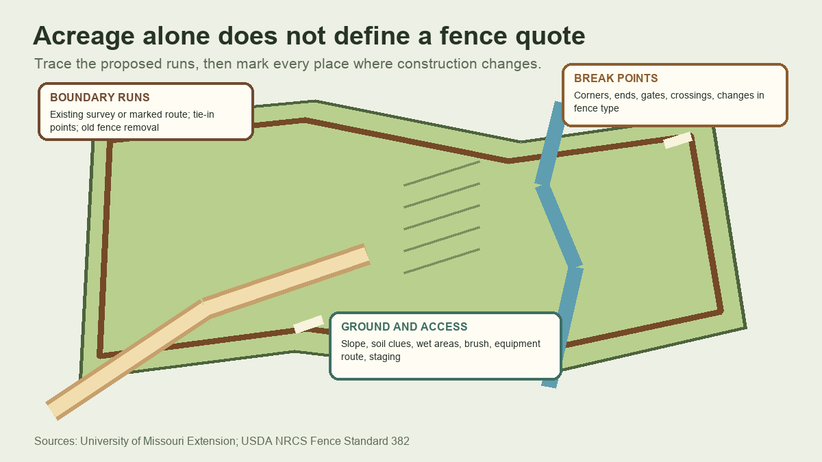
A farm fence quote becomes clearer when the proposed line is divided into runs. For each run, capture its start and end landmarks in the caller's own terms: north barn corner to creek, creek to rear wood line, rear field to cattle lane. Do not convert those descriptions into measurements unless the caller has a reliable plan or measured figure.
Mark every break point the caller knows about:
- Corners, ends, tie-ins, and changes in direction
- Vehicle, livestock, pedestrian, and machinery gates
- Roads, driveways, lanes, culverts, ditches, streams, and seasonal water paths
- Changes in fence type, old fence to remove, and sections the caller wants to keep
- Barns, pens, utilities, trees, rock, retaining features, or structures close to the proposed route
Gate count is only the start. Ask each gate's purpose and the largest equipment expected to use it. Record the preferred location, but do not promise that the requested spot will work. Grade, drainage, turning room, bracing, road visibility, livestock flow, and local rules can change the final placement.
Water deserves its own note. Ask whether the route crosses a creek, drainage swale, flood-prone area, irrigation feature, or seasonal wash. Record what the caller observes and when water is normally present. The office should never tell someone to enter moving water or unstable ground to collect measurements.
Terrain and access need separate notes
“Mostly flat” can hide the one ravine that controls the job. Ask where the ground changes along the proposed line. Does it climb sharply, roll gradually, stay wet after rain, cross exposed rock, pass through dense brush, or run beside an eroding bank? Are there low spots where water or debris collects?
Use plain observations. The caller does not need to identify soil type or test the ground. “Rock is visible near the west ridge” and “tractor ruts stay wet beside the creek” are enough to alert the estimator. Photos can help, provided the caller can take them from a safe place.
Access is a different question. Can a truck and trailer reach the work area? Is the entrance limited by a narrow gate, weak bridge, low branch, overhead line, steep drive, soft lane, or locked access point? Where can materials be unloaded without blocking animals, residents, public roads, or farm operations? Is brush clearing expected, and who is responsible for it?
Ask how livestock will be managed during the visit and eventual work. The office should not invent a containment plan. It needs to know whether animals occupy the area, who can move them, and whether the estimator must coordinate arrival with the owner or farm manager.
The USDA Natural Resources Conservation Service publishes Fence Conservation Practice Standard 382. The standard treats fence planning as site-specific and calls for drawings, specifications, material quantities, installation requirements, and maintenance provisions under applicable local criteria. Its national page also directs users to current local technical guidance. For the call handler, the lesson is firm: site facts belong in the record, while design decisions stay with qualified field staff.
Ask for a small, deliberate photo set
Aerial images show route context. Ground photos show conditions that a map can miss. Ask for both when the caller already has them or can collect them safely.
Request one marked overview of the proposed fence runs, plus ground-level views of gate areas, crossings, steep sections, access lanes, tie-ins, old fence, and obvious obstacles. A short video from a stable road or lane may help with context. It does not replace measurements or an inspection.
Tell the caller not to cross fences, enter livestock areas, climb slopes, walk creek banks, move debris, or approach utilities for the sake of a quote. If a view cannot be collected safely, note the missing information for the estimator.
Name files by location when possible. “North gate looking east” is useful. Six images called IMG_1042 through IMG_1047 force the estimator to reconstruct the property during the visit.
Build the estimator handoff before scheduling
The final record should read like a route brief. Identify the property address and decision-maker, fence purpose, animals or areas involved, proposed runs, known dimensions and their source, boundary or survey status, gates, crossings, terrain, old-fence work, access, photos, timing, and open questions.
San Mateo County's guidance on estimates and scope of work recommends recording work line by line with dimensions, measurements, and explanations. Although that guidance addresses disaster repair estimates, the documentation principle fits agricultural fence intake: separate the work into identifiable sections and label what remains unverified.
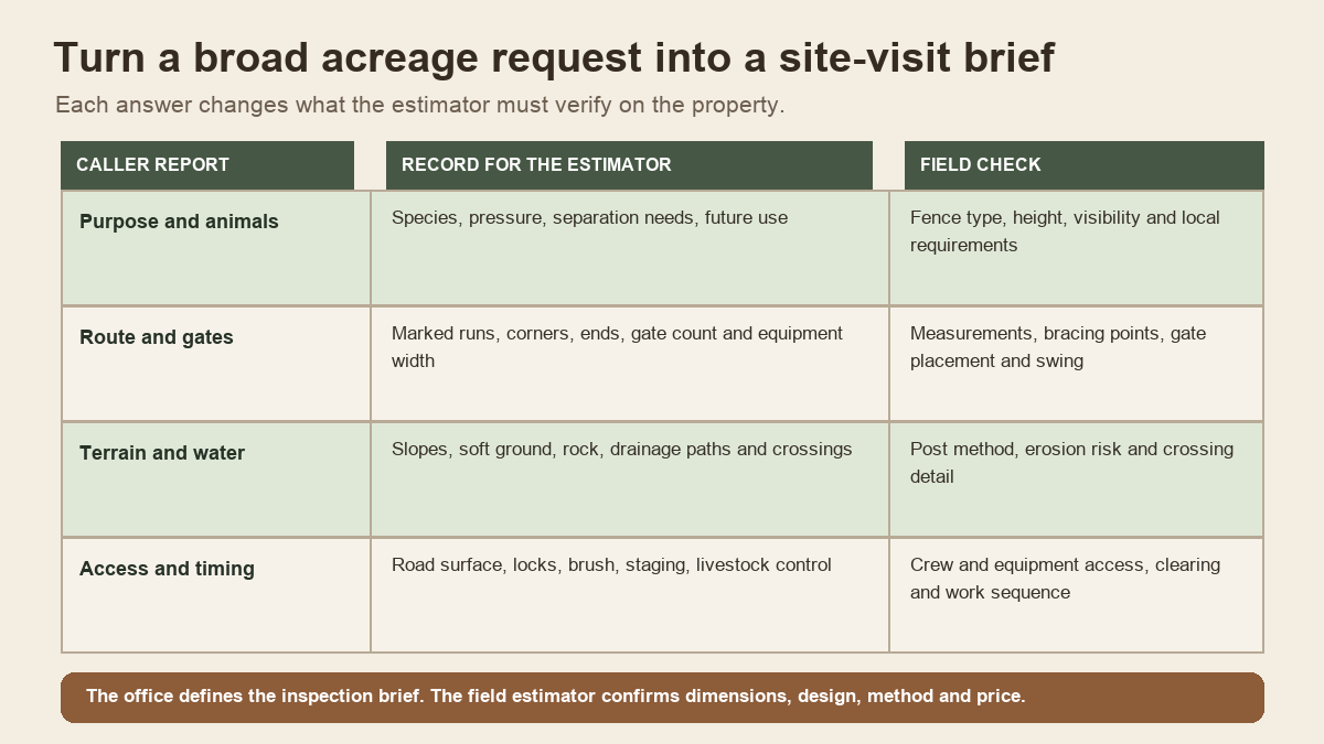
Schedule a field estimate when the service area and project type fit the company. Escalate unusual water crossings, roadside work, unclear authority, utility conflicts, unsafe access, or specialized animal requirements to the appropriate estimator before promising an appointment format or duration.
The fencing estimate scheduling guide covers the general booking process. Farm and ranch calls need the extra route, use, terrain, and access detail described here.
Read the handoff back in concrete terms: “You want new perimeter fence along the north and west fields, plus an interior division to the barn lane. The route includes two equipment gates, one seasonal creek crossing, old wire along the west side, and a rocky slope near the rear corner. You will send a marked aerial and gate photos. Our estimator will verify the route, measurements, fence design, access plan, and quote on site.”
Now the estimator knows where to begin before the truck reaches the first gate.